


Researchers at the University of Cambridge are applying satellite imagery to identify bramble patches—thorny thickets hedgehogs use for shelter and foraging—and then infer hedgehog habitat suitability across large areas.
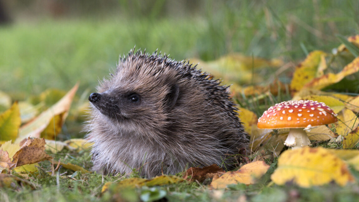
European hedgehog populations have declined by roughly 30 to 50 percent over the past decade, making field surveys for hedgehogs expensive and difficult. The team aims to sidestep direct hedgehog detection by focusing on the habitats they prefer.
Gabriel Mahler and colleagues developed a small ML detector that spots brambles from space, using a combination of logistic regression and k-nearest neighbors. The model also leverages TESSERA earth-representation embeddings from ESA’s Sentinel imagery and ground-truth observations from iNaturalist.
To validate the approach, researchers spent a day in Cambridge walking with smartphones and GPS, comparing the model’s predictions with actual vegetation on the ground to gauge accuracy.
The work illustrates a practical application of AI in ecology beyond “big language models”: it relies on traditional ML methods and remote sensing to support-scale habitat mapping and conservation planning for hedgehogs and potentially other species.
Looking forward, if validated at larger scales, bramble-based habitat maps could speed up national conservation assessments and help target hedgehog protection in an era of expanding urbanization and climate change.